Guide to the DR
Santo Domingo · --:--
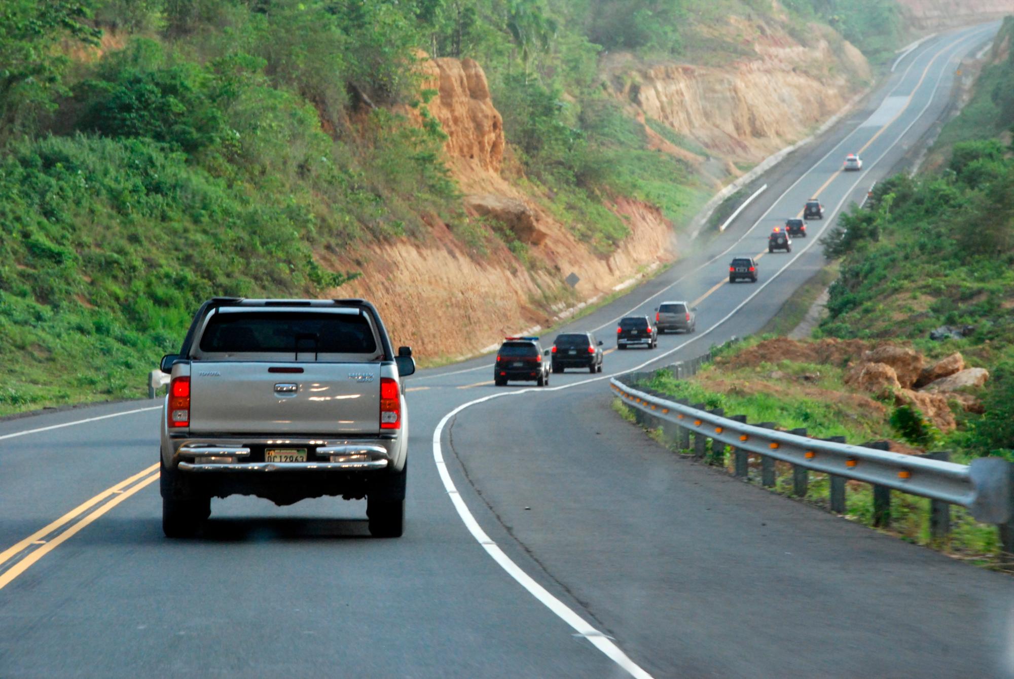
A convoy of vehicles on a scenic mountain highway in the Dominican Republic
República Dominicana · Getting around

Dominican Republic
road trip

On the map it always looks closer than it is.

✈ 4 international airports 🛣️ Fast toll highways ☀️ Best driven by day
Quick reference

Drive times at a glance

Real-world driving times on the main routes — allow more in rain, at night, or with stops.

RouteDrive timeDistanceRoad
Santo Domingo → Punta Cana~2 h 15~200 kmToll highway · easy
Santo Domingo → Samaná~2 h 30~245 kmToll highway · easy
Santo Domingo → Santiago~1 h 45~155 kmAutopista Duarte
Santo Domingo → Puerto Plata~3 h 30~215 kmAutopista Duarte
Santo Domingo → Jarabacoa~2 h 15~175 kmHighway + mountain
Santo Domingo → Barahona~3 h~200 kmCarretera Sánchez
Santo Domingo → Bayahíbe / La Romana~1 h 30~110 kmAutovía del Este
Punta Cana → Samaná~3 h 45~250 kmInland · long
Puerto Plata → Samaná~3 h~200 kmCoast road · scenic
Santiago → Puerto Plata~1 h~65 kmDR-5 · easy
Jarabacoa → Constanza~1 h 30~55 kmMountain · winding

Want this built into a real day-by-day plan? Our trip planner stitches these hops into a route with the transfers, timing and a budget baked in — so you're not doing this math yourself.

From the capital

Routes out of Santo Domingo

The capital is the hub — most trips start here or at Las Américas airport (SDQ), and these are the drives out.

Santo Domingo → Punta Cana

🕒 ~2 h 15~200 kmEasy

The country's smoothest long drive — flat, fast and fully paved on the Autovía del Este and Autopista del Coral toll roads.

🛑Along the way: Boca Chica and Juan Dolio beaches, and a detour to La Romana / Altos de Chavón.
🚗Rental or private transfer both easy. Keep pesos for tolls.

Santo Domingo → Samaná

🕒 ~2 h 30~245 kmEasy

A straight shot on the modern Bulevar Turístico del Atlántico (DR-7) — one of the best roads in the country, and the reason Samaná is far more reachable than it used to be.

🚗Rental or transfer. Little to stop for; it's a clean run to the peninsula.
Heads up: the DR-7 tolls are the priciest in the country — budget for them and carry cash.

Santo Domingo → Santiago

🕒 ~1 h 45~155 kmEasy

Up the Autopista Duarte (DR-1), the country's spine — a busy but fast four-lane highway into the Cibao valley.

🛑Along the way: Bonao, and La Vega — home of the country's wildest Carnival.
🚐Frequent guaguas and coach lines (Caribe Tours, Metro) run this route cheaply.

Santo Domingo → Puerto Plata

🕒 ~3 h 30~215 kmMostly easy

The Duarte highway the whole way, over the mountains past Santiago and down to the Amber Coast.

🛑Along the way: La Vega, Santiago, then Sosúa and Cabarete just beyond Puerto Plata.
🚗Easy self-drive; the mountain descent past Santiago is the only slow stretch.

Santo Domingo → Jarabacoa

🕒 ~2 h 15~175 kmMountain

Duarte highway to La Vega, then a climbing, curving road up into the Cordillera Central — the DR's alpine heart.

🛑Up top: waterfalls (Salto de Jimenoa, Salto Baiguate), pine forest and river rafting.
Drive it in daylight — the mountain section is winding and unlit after dark.

Santo Domingo → Barahona

🕒 ~3 h~200 kmCoastal

Southwest on the Carretera Sánchez (DR-2) through Baní and Azua, then down to the wild, under-visited southwest coast.

🛑Along the way: Baní dunes; beyond Barahona, the cliff road to San Rafael and Los Patos.
🚗A rental is almost essential here — transit is thin and the coast road is the whole point.

Santo Domingo → Bayahíbe / La Romana

🕒 ~1 h 30~110 kmEasy

The quickest hop to a beach — straight down the Autovía del Este to the launch point for Saona and Catalina islands.

🛑Along the way: Boca Chica, Juan Dolio, and Altos de Chavón near La Romana.
🚗Easy drive; also a short, cheap transfer if you're resort-bound.
Region to region

Coast to coast

The longer hops that string a multi-region trip together — and the one everyone underestimates.

Punta Cana → Samaná

🕒 ~3 h 45~250 kmLong

There's no coastal shortcut — you loop inland via the Autovía del Este and back up the Samaná highway. Closer on a map than in the car.

The honest bit: this is the drive people misjudge. Either commit to a full travel day, or split it with a night in Santo Domingo — our planner paces it for you.

Puerto Plata → Samaná

🕒 ~3 h~200 kmScenic

The north-coast road east through Cabarete, Río San Juan and Nagua — one of the prettiest legal-speed drives on the island.

🛑Along the way: Cabarete (kite beach), Playa Grande, the lagoons at Río San Juan.
🚗Best self-driven — the coastal scenery is the reason to do it by car.

Santiago → Puerto Plata

🕒 ~1 h~65 kmEasy

A quick, modern run over the coastal range on the DR-5 — pairs the Cibao's biggest city with the Amber Coast beaches.

🛑Along the way: the Damajagua waterfalls (27 Charcos) sit just off this road.
🚗Easy any way — rental, taxi or guagua.
The interior

Mountain roads

Short distances, slow going, huge payoff. These are the drives to take in daylight, unhurried.

Jarabacoa → Constanza

🕒 ~1 h 30~55 kmWinding

Two mountain towns barely apart as the crow flies, but the DR's high country doesn't do straight lines. Alpine pine, terraced farms and cool air the whole way.

🚙The direct high route via Manabao / Valle Nuevo is rough — a proper 4x4 adventure.
🛣️Most drivers take the longer paved loop down to La Vega/Bonao and back up — slower but easy.
Daylight only. Fog rolls in and there are no lights up here. Constanza gets genuinely cold at night — bring a layer.

Constanza → Santo Domingo

🕒 ~2 h 45~180 kmMountain + highway

Down the switchbacks to Bonao on the Autopista Duarte, then a fast, flat run into the capital.

🛑Along the way: roadside stalls selling Constanza's famous strawberries and garlic.
🚗Take the mountain descent slow; the highway half is effortless.
How to travel

Rent, ride or hire?

There's no single right answer — it depends on the region and your appetite for driving.

Rent a car where the road is the trip: Samaná, the north coast, the southwest and the mountains. You'll want the freedom to stop at every beach and mirador. Book an SUV for the mountains, decline nothing on insurance, and drive in daylight.

Hire a private driver for long point-to-point transfers and single-region resort stays — it's often cheaper on stress than a rental, and a good driver doubles as a guide. Agree the price before you get in.

Uber & inDrive are cashless, cheap and increasingly widespread — they cover the big cities and a growing list of tourist towns. In remote mountain and rural areas, coverage thins out and you'll fall back on taxis, private drivers or guaguas.

Guaguas & coaches (Caribe Tours, Metro) connect the cities cheaply. Guaguas are the local, no-schedule option — great for the experience, tough with luggage.

The honest bit: the single biggest mistake visitors make is underestimating drive times and planning a night drive across regions. Distances are short; the roads are slow. Move between regions by day and you'll love driving here.

For the full rundown on airports, tolls, safety and getting around, see know before you go.

Quick answers

Frequently asked

How long is the drive from Santo Domingo to Punta Cana?›
About 2 to 2.5 hours on the Autovía del Este and Autopista del Coral — a flat, fast toll highway covering roughly 200 km. One of the easiest drives in the country.
How do you get from Jarabacoa to Constanza?›
The two mountain towns are only ~55 km apart but 1.5–2 hours by road. The direct high route through Manabao and Valle Nuevo is rough and needs a 4x4; most drivers take the longer paved route back down to La Vega or Bonao and up again. Both are spectacular — drive them in daylight.
How far is Barahona from Santo Domingo?›
Roughly 200 km and about 3 hours, southwest on the Carretera Sánchez through Baní and Azua, then down to the coast. Beyond Barahona town, the wild coastal road to San Rafael and Los Patos is one of the most scenic drives in the DR.
Should I rent a car or hire a driver?›
For road-trip regions — Samaná, the north coast, the southwest — a rental is well worth it. For single-region resort stays or long point-to-point hops, a private driver is cheaper on stress. Ride-hailing (Uber, inDrive) covers the cities and many tourist areas, but thins out in the remote countryside.
Is it safe to drive in the Dominican Republic?›
Yes, with common sense. Stick to daylight for region-to-region drives — rural roads are unlit and motorbikes, animals and potholes appear without warning. Main toll highways are modern and easy; mountain roads are winding and slow. Drive defensively and don't rush.

Stop doing the drive-time math

Answer seven quick questions and we'll build a real day-by-day Dominican Republic route — where to go, eat and stay, with every transfer and its timing baked in.

Plan my trip →